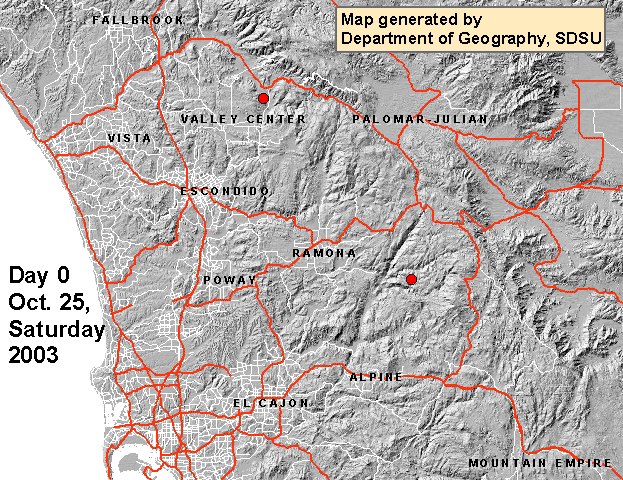
 This animated map essentially shows where the fires were located during a week in San Diego in 2003. Major roadways and land elevations are included in the map. The animation also uses different colors to differentiate between total number of fires each day. The trend of interest in this map is where the fires are occurring and to what extent each day.
Friday, April 23, 2010
Cartographic Animation
This animated map essentially shows where the fires were located during a week in San Diego in 2003. Major roadways and land elevations are included in the map. The animation also uses different colors to differentiate between total number of fires each day. The trend of interest in this map is where the fires are occurring and to what extent each day.
Subscribe to:
Post Comments (Atom)
No comments:
Post a Comment